
Page 25 - Norwegian Spacial Mission
P. 25
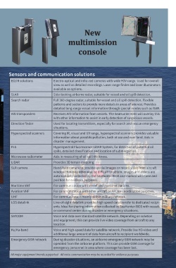
New

                                     multimission

                                           console


      Sensors and communication solutions

       EO/IR solutions       Electro-optical and infra-red cameras with wide FOV range. Used for overall
                             view as well as detailed recordings. Laser range finder and laser illuminators
                             available as options.
       SLAR                  Side-looking airborne radar, suitable for vessel and oil spill detection.
       Search radar          Full 360-degree radar, suitable for vessel and oil spill detection. Flexible
                             patterns and sectors to provide more details in areas of interest. Provides
                             detailed long-range vessel information through special modes such as ISAR.
       AIS transponders      Receives AIS-information from vessels. The SeaHunter 8000 will overlay this
                             with other information to assist in early detection of suspicious vessels.
       Direction finder      Used for locating transmitters, especially for search and rescue emergency
                             situations.
       Hyperspectral scanners  Covering IR, visual and UV range, hyperspectral scanners provides valuable
                             information about possible pollution, both at sea and over land. Aids in
                             disaster management.
       FLS                   Hyperspectral Fluorescence LiDAR System, for detection of potential oil
                             spills, detailed classification and location of submerged oil.
       Microwave radiometer  Aids in measuring of oil spill thickness.
       LIDAR                 Provides 3D terrain mapping.
       SLR camera            Hand-held camera to provide special images or record video from aircraft
                             window that may otherwise be difficult to obtain. Images and videos are
                             automatically collected by the SeaHunter 8000 and marked with time and
                             position for evidence purposes.
       Maritime VHF          For communication with vessel and maritime stations.
       Aviation VHF          For communication with other aircraft or ATC for coordination purposes.
       UHF                   For communication mainly within military network.
       LOS datalink          Line-of-sight datalink provides high speed data transfer to dedicated recipi-
                             ents. Ideal for sharing information collected by SeaHunter 8000 with vessels
                             or command center during disaster or emergency situations.
       SATCOM                Voice and data over standard satellite network. Depending on solution
                             and equipment, this can provide live video coverage from aircraft to any
                             location.
       Ku/Ka-band            Voice and high-speed data for satellite network. Provide live HD-video and
                             additional large amount of data from aircraft to recipient worldwide.
       Emergency GSM network  During disaster situations, an airborne emergency GSM network may be
                             operated from the airborne platform. This can provide GSM coverage for
                             emergency personnel in area where coverage has been lost.

       All major equipment brands supported.   All voice communication may be recorded for evidence purposes